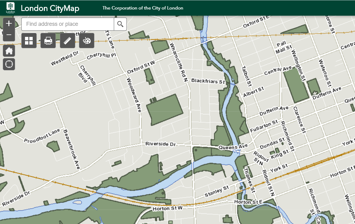
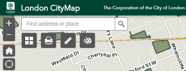
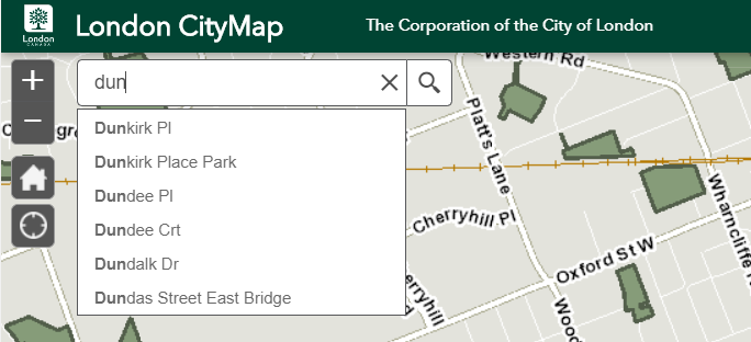
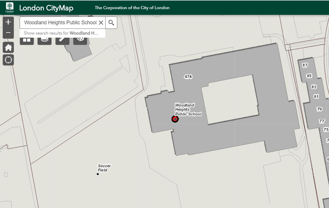
Welcome to the next generation of CityMap! It has been 15 years since we launched the first version of CityMap, and we have been eager to bring CityMap up to date with contemporary web map designs. However, there are some significant differences from the older CityMap which you may have become used to, and this page will provide some tips and pointers on how to use the new CityMap.
New Map look and feel
In the text box at the top left of the CityMap window, you can type an address, or a street name, or the name of a community facility such as a school, library, arena, or other community point of interest
Click the "Search" magnifying glass, or just press the Enter key to begin the search.
If you're not sure of the spelling of a street name, CityMap will auto-suggest names which match the characters you type:
Note: this version of CityMap only supports searching for addresses, streets, and intersections within the London, Ontario city boundary. Also, it only supports searching for community place names for which the City of London has authoritative data, so it does not find private, commercial, or residential place names other than municipal addresses. In future updates of CityMap we hope to extend our service to provide integration with external search engines such as the Google Maps API to support more comprehensive map searches.
Multi device use
Desktop, Tablet, and Phone friendly
Type the word "schools" into the CityMap search textbox. CityMap will display all the schools within your current map view as red push-pins.
Click one of the school push-pins. CityMap will display an information balloon with name of the school.
Alternately, you can zoom-in to a closer view of the school location. CityMap will label schools and other community buildings, and parks and recreation facilities at closer map scales.
Also, you can click one of the school names on the listing at the left of the map window. CityMap will zoom in on that particular school.
View Aerial Photos
Click on the basemap gallery button just under the search and select Ortho Basemap to see the aerial view
Easy to use
Print the Current Map View
Click the “I Want To” button.
Click the “Print” option.
Enter any Notes you wish to preserve on the printed map image.
Click the “Print” button
A new browser window will open with a printable version of the map – use the print dialogue of your browser to print the map.
Like other commercial online map offerings, this new CityMap does not provide a menu listing all the types of features available on the map. Instead, use the Search textbox to get CItyMap to display all the features like "schools" or "arenas". Or zoom in to a park location -- CityMap will display points for the recreational features available there.
For the time being we will continue to offer the older versions of CityMap which support certain special purposes such as zoning, Planning application sites, current roadworks sites, urban forest trees, and bike and walking trails. These CityMap services will eventually be updated and presented through the new CityMap.
Click the “I Want To” button.
Click the “Feedback” option.
A new browser window will open with the new web site Feedback form. If you are experiencing a problem with CityMap, please provide as much detail as possible so we can reproduce the problem:
Scroll up